The 2004 Indian Ocean tsunami began with a vast earthquake off northern Sumatra on 26 December. The sea carried the resulting waves toward coastlines separated by thousands of kilometres. Communities in Indonesia, Sri Lanka, India, Thailand and farther across the ocean faced the consequences of the same rupture beneath the seabed.
More than 227,000 people were killed or went missing and were presumed dead. The catastrophe reached fishing villages, cities and holiday resorts, joining very different places in a shared emergency. For many people on the shore, the danger arrived without an official warning and without the knowledge needed to recognise what the ocean was doing.
The earthquake behind the 2004 Indian Ocean tsunami
At 00:58 UTC, a magnitude 9.1 earthquake struck near the west coast of northern Sumatra. It occurred along the boundary where the India plate moves beneath the Burma microplate. The rupture released strain accumulated through the continuing movement of those plates.
The US Geological Survey’s earthquake record provides the event’s measured location, magnitude and tectonic explanation. The scale of the fault movement was immense. Displacement of the seafloor disturbed the water above it, generating tsunami waves that travelled across the ocean basin.
An earthquake’s impact is often imagined as strongest near its centre and weaker farther away. A tsunami creates a different geography of danger. Energy transferred into the ocean can reach distant shores whose residents never experienced the original shaking. Distance from the rupture did not necessarily mean distance from a lethal event.
An ocean connected the disaster zones
The closest affected coasts had very little time. Farther away, waves travelled for hours before reaching land. What happened at one shoreline did not look identical to what happened at another: coastal shape, water depth and the direction of the waves influenced the local impact.
The NOAA tsunami research centre’s reconstruction shows how the waves propagated through the basin. The USGS explanation of tsunami generation adds the remarkable detail that the rupture itself continued for minutes while waves generated earlier were already travelling away.
That overlapping sequence made the disaster larger than one dramatic instant. A coastline could be in immediate danger while another remained unaware that a catastrophe was moving toward it. The ocean, normally understood as a distance between places, had become the medium linking their emergencies.
The missing warning system
An established tsunami warning system existed in the Pacific, but the Indian Ocean did not have an equivalent regional system in place when the earthquake struck. Detection alone would not have been sufficient: information also needed to reach authorities and communities in a form that could prompt timely action.
NOAA’s assessment of the 2004 tsunami identifies the absence of an official regional warning system and limited public awareness as major factors in the scale of the losses. Some shores experienced a dramatic withdrawal of water before inundation, but the sequence was not the same everywhere.
The distinction matters because hindsight can make warning signs seem obvious. A person seeing an unfamiliar change in the sea needed knowledge that many communities had not been given. The gap was therefore institutional as well as individual. An ocean-wide hazard required communication and education capable of crossing the same borders as the waves.
The toll reached far beyond the shoreline
NOAA records 227,899 people killed or missing and presumed dead. Stating the definition is important: it is a combined disaster toll, not a claim that every person was recovered and individually identified. The losses included residents and visitors, with consequences extending to families around the world.
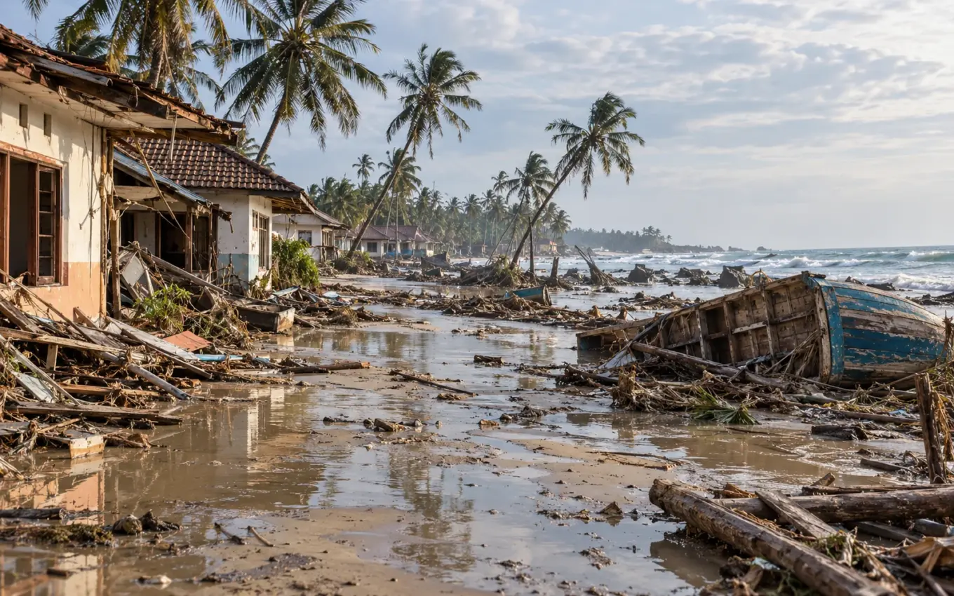
The destruction also damaged the means by which communities could recover. Homes, boats, roads, schools and public services were part of the same coastal landscape. Someone who survived the waves could still lose shelter, employment, records and contact with relatives in a single morning.
The NOAA collection of observed wave run-ups preserves field measurements of how far the tsunami reached above sea level at particular sites. Such measurements describe the physical event; they also mark places where a familiar boundary between land and sea ceased to offer protection.
The world studied what it had failed to anticipate
The catastrophe accelerated the development of regional warning arrangements, observation networks and public preparedness. The work required more than instruments in the ocean. It depended on institutions sharing information and on communities understanding what an alert meant before another emergency began.
A USGS retrospective with scientists who studied the disaster follows the lessons carried into later research. The 2004 event changed the questions scientists and emergency managers asked about distant-source hazards and the relationship between an earthquake’s measurements and its coastal consequences.
The tsunami’s most haunting feature is the difference between its enormous physical scale and the small moments in which people encountered it. A working day, a walk along the beach or a holiday morning became part of an ocean-wide disaster. The waves linked nations in a few hours. The work of identifying the dead, rebuilding communities and living with the absence of those who did not return would take far longer.